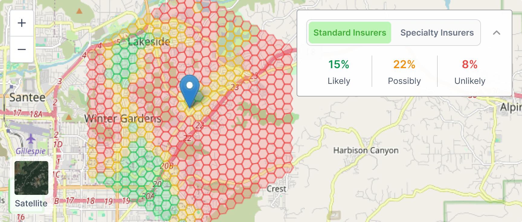
Your personal insurance and wildfire guide
Our built-in AI Assistant helps you make sense of wildfire and insurance data instantly. Ask questions like "Why is this property tough to insure?" or "What upgrades could improve insurability?" and get clear, expert-level explanations in seconds.
It's like having an insurance advisor, wildfire scientist, and mitigation inspector right in your browser.
Hello! Ask me anything about this property's insurability, wildfire risk or how to improve its safety.
What upgrades could improve insurability for this property?
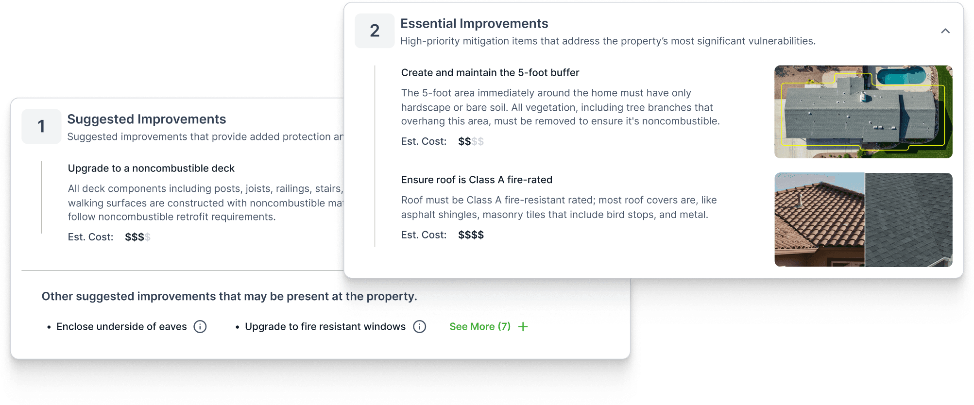
Based on the analysis, here are the top improvements:
- • Clear vegetation within 5ft of structure
- • Install Class A fire-rated roofing
- • Add ember-resistant vents
Safer homes get better insurance options
Using aerial imagery and IBHS standards, InsurAble automatically spots wildfire-hardening features on the property, like roof type and vegetation clearance. You'll see what's already helping your insurability and what could be improved, along with practical tips to take action.
One view of wildfire risk, across every level
Wildfire risk isn't just about your home, it's about everything around it. InsurAble shows how risk builds from the structure, parcel, community, and region, combining them into one clear picture of how insurers assess your area.

Structure Risk
A High rating signals significant vulnerabilities to the roof and its potential for ember ignition during a wildfire event.

Parcel Risk
Defensible space zones are key for wildfire prevention. High tree or building density increases fire spread risk, while steep slopes allow fires to move quickly uphill.

Community Risk
Reflects the risk beyond the property. A High rating indicates greater wildfire risk, while a Low rating suggests a more resilient community.

Region Risk
Compares the property's wildfire risk to other areas in the state and across the country, factoring in local conditions like wind and snowfall.
FAQ
About Us
At Property Guardian, our mission is simple: make the world more insurable.
We combine deep expertise with cutting-edge technology to provide homebuyers, homeowners, and real estate professionals with critical wildfire risk insights. Our team includes seasoned insurance underwriters, data scientists, NFPA certified wildfire mitigation specialists, arborists, meteorologists, and veteran "hotshot" firefighters—bringing together real-world experience and advanced modeling. Using the latest visual imagery and data-driven analysis, we deliver property-specific wildfire risk assessments, customized safety recommendations, and access to wildfire insurance solutions.
Learn more about us.